GPS and navigation
Navigation during hunting. GPS devices, apps, and map use.
Good navigation is important for safety and efficiency during hunting. GPS and digital maps have made it easier, but paper maps and a compass are still important backup.
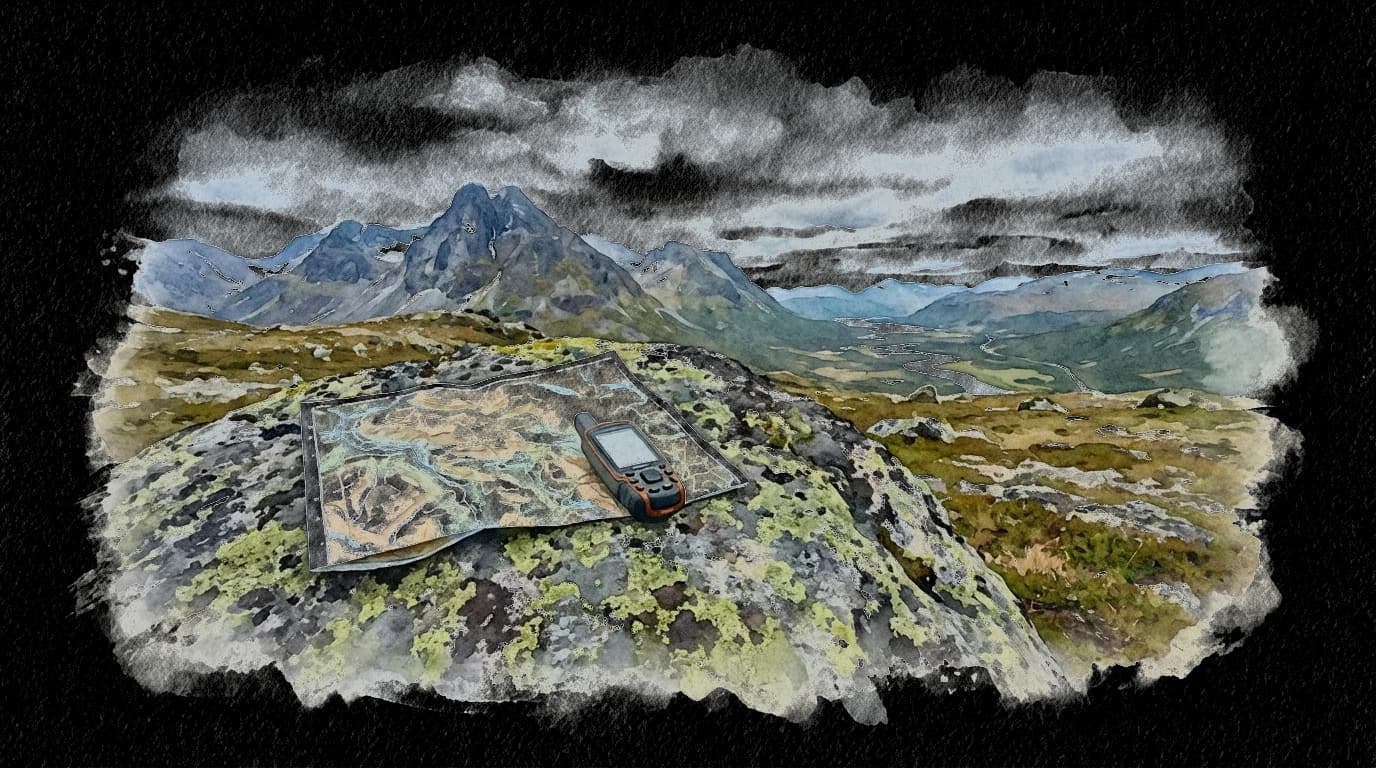
GPS devices: Garmin inReach and Garmin Montana are popular among hunters. They work without cell coverage (satellite-based) and have long battery life. The inReach also has an SOS function and two-way messaging via satellite.
Apps: Norgeskart, UT.no, and Garmin Explore provide good topographic maps. Many hunters also use OnX Hunt or HuntStand (American, but work with downloaded maps).
Paper maps: Always bring a paper map in the M711 series (1:50,000) for your hunting area. Batteries die, phones break, GPS units fail. Paper maps never let you down.
Dog tracking: Garmin Alpha and Tracker G500 are GPS collars for hunting dogs. They provide real-time position of the dog on a handheld receiver. Essential for loose dog hunting.
Map marking: Mark stands, salt licks, butchering sites, migration routes, and observations on the map. Over time, you build up good knowledge of the terrain.
Battery tips: Bring extra batteries/power bank. Cold weather kills battery capacity. Keep the GPS warm (inside pocket) between uses.
Coordinate system: Learn to read and provide UTM coordinates. This is the standard in Norwegian rescue services and makes it easier to communicate positions.